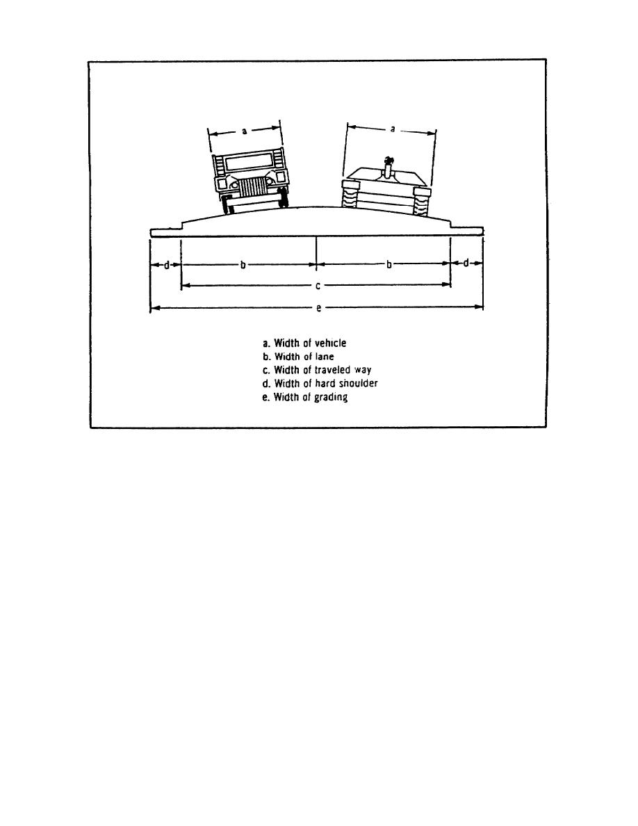
FIGURE 1-11.
ROUTE WIDTHS.
(2) Classification numbers for both roads and bridges are
usually located at the bridges. This is because the bridge is normally the
weakest point on the road.
Bridges (and rafts) have circular signs
indicating the classification and other information. The circle, or disk,
is yellow/orange with the information indicated in black.
Figure 1-13
illustrates the most common symbols. More detailed descriptions are in FM
19-4 Appendix H (See Appendix A) and FM 5-36.
(3) A full NATO bridge sign will be a large yellow rectangle,
with black symbols. In the center will be a large circle divided into three
parts. In the upper third of the circle will be a smaller circle. To the
left (shaded) side of the circle is the two-way wheeled classification. On
the right (unshaded) is the one-way wheeled classification.
A small
rectangle is centered in the middle third of the circle. This indicates the
same information for tracked vehicles. In the bottom third of the symbol is
the bridge serial number. The width of the traveled way of the bridge is
placed below the large circle. To the left of the circle is the overhead
clearance and to the right is the overall bridge length.
This type of
signing is normally only posted on major double-flow bridges.
1-33
MP1028


 Previous Page
