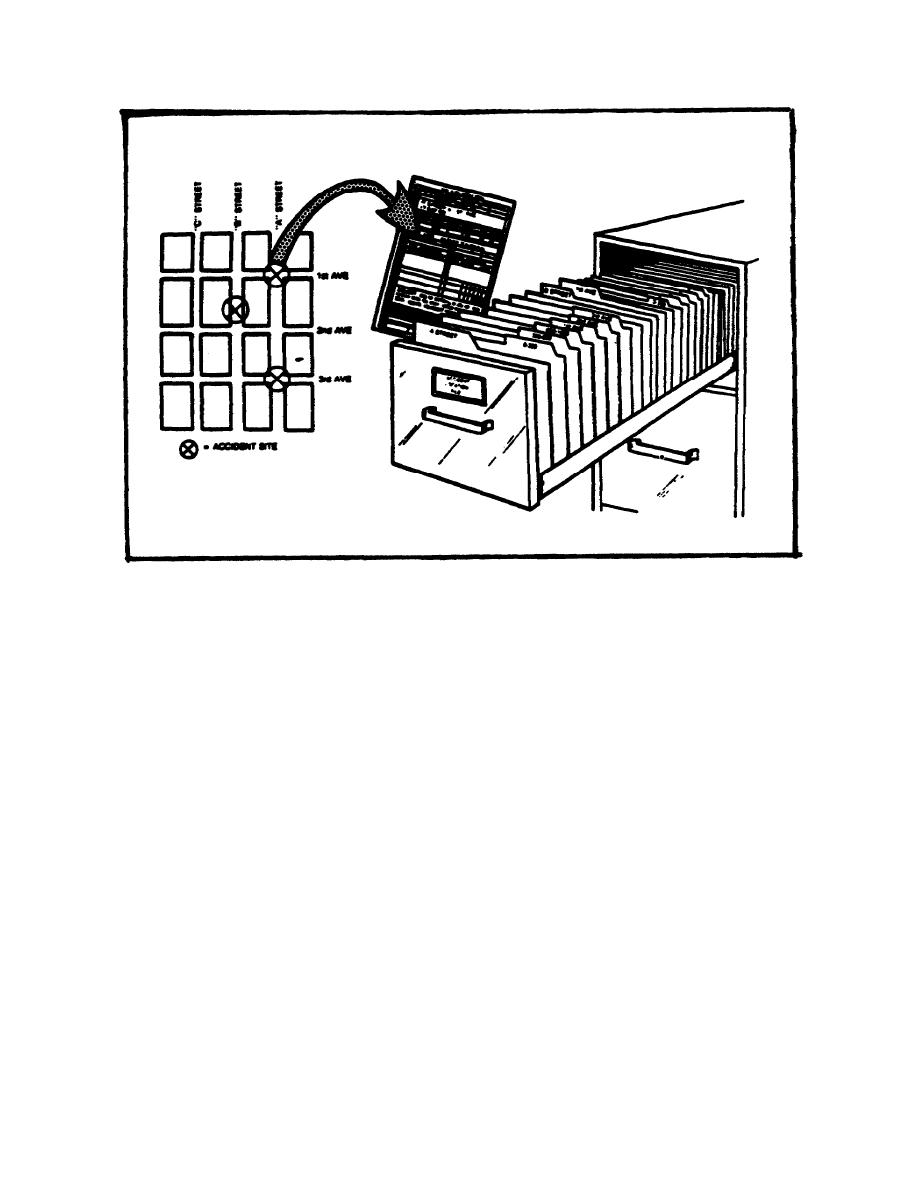
Figure 2-1. Accident Location File.
Spot maps are designed to show the complete roadnet or any specific part of the roadnet. Post
accident locations on the map by using different colored map pins. The color of the pins can be used to
represent different factors. Maps should be large enough to be easily visible. By reviewing these
maps, high frequency accident locations can be seen.
In addition, maps made available to MPs going on patrol can act as a briefing and prevention aid. At
the end of each year, maps should be photographed in color and filed for future reference and
comparison with current maps.
Both of the above methods can be used. The accident file contains a complete copy of every accident
report (DD Form 3946) with relevant data. The accident file can serve as the data source for preparing
the spot map. The spot map shows only selected data. The accident file can serve as the data source
for preparing the spot map. A sample spot map is shown in Figure 2-2.
2-7
MP2000


 Previous Page
